Courmayeur & the Mont Blanc Massif -3D Printable Terrain Model from Open LiDAR Data
Overview
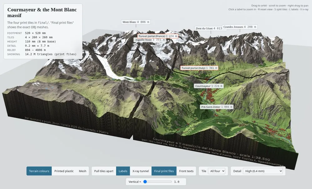
A printable 52 x 52 cm relief model covering Courmayeur, the Italian side of Mont Blanc, and the Chamonix side up to the Aiguille du Midi, constructed from open LiDAR data. The model is divided into four 26 x 26 cm tiles and includes terrain, the Mont Blanc Tunnel, roads, buildings, and engraved text.
Specifications
- Coverage -20 x 20 km square, UTM 32N, centered at 45.815 N, 6.920 E
- Model dimensions -520 x 520 mm in four tiles; 110 mm height; scale 1:38,462
- Resolution -0.2 mm grid (7.7 m ground distance)
- Print files -Hollow 1.5 mm shell, ~1 million triangles per tile
Data Sources & Features
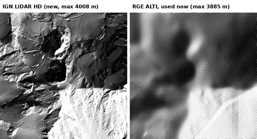
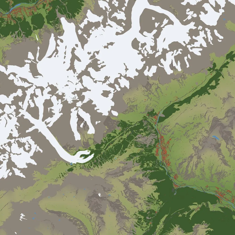
Terrain is merged from IGN LiDAR HD, Regione Valle d'Aosta LiDAR, IGN RGE ALTI, INGV TINITALY, and AWS Terrain Tiles. The model includes the 11.6 km Mont Blanc Tunnel (cut as a 2 mm bore from OpenStreetMap route), raised roads, extruded buildings, and landcover coloring for glaciers, forests, rock, water, roads, and buildings.
Build Pipeline
The pipeline uses Python scripts for data fetching, tile building, feature stamping, tunnel generation, labeling, color export, and CNC conversion. A local three.js viewer is included for previewing the model in the browser.